 MENU
MENU 

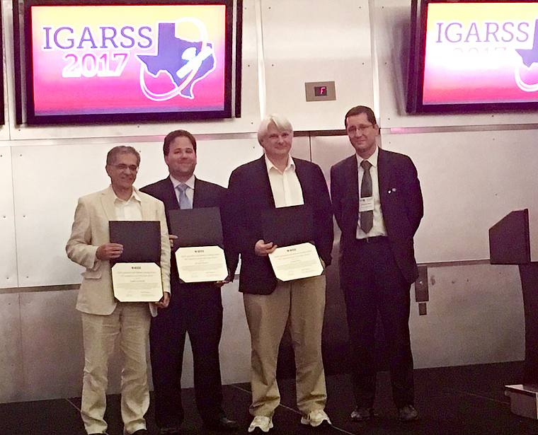
IGARSS Interactive Symposium Paper Award for modeling the world’s forests
The paper outlines a better way to quantify forest structure, which has been successful in two tree species.
 Enlarge
Researchers in Electrical and Computer Engineering are working to find a better way to quantify forest structure around the globe. Forest structure is an important indication of the earth’s carbon cycle, which impacts global climate, as well as biodiversity and other topics including land use and development. Their research, led by doctoral student Michael Benson, was presented at 2016 International Geoscience and Remote Sensing Symposium (IGARSS) and selected the following year to receive one of two Interactive Symposium Paper Awards.
 Enlarge
The paper, “Estimating the three dimensional structure of heterogeneous forests using multi-modal remote sensing and sensor extrapolation techniques,” was co-authored by Dr. Leland Pierce and Benson’s advisor, Kamal Sarabandi, Rufus S. Teesdale Professor of Engineering.
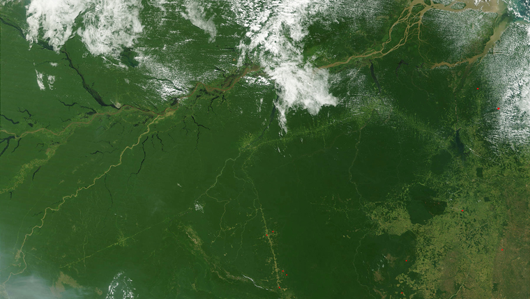
Trees are a vital component of the Earth’s carbon cycle, absorbing atmospheric CO2 through photosynthesis and then releasing it through decomposition. With 30% of the Earth’s landmass comprised of forests, scientists need a detailed understanding of their size and makeup to evaluate their overall impact.
There are several primary methods to determine forest structure, each with their own drawbacks. Scientists agree that satellites can provide the data most efficiently, but there are a variety of sensing modalities used to acquire forest structure, with none being best for all types of forests.
Benson is proposing a methodology that can be used to monitor the Earth’s various types of forests (deciduous, coniferous, and mixed) by creating models based on a collection of multi-modal remote sensing data, tracked over time.
Benson’s goal was to measure the canopy height, aboveground biomass, and species composition of a large region of heterogenous forest using a database of simulated forest stands. He developed a dynamic algorithm to make iterative comparisons between simulated data and actual sensor data, matching modeled species to their real-world analogues with gradually increasing accuracy.
The researchers applied this method to the Harvard Forest, located in central Massachusetts in the northeastern United States, because it had already been sensed by a variety of methods, including on-site fieldwork, giving them a plethora of data available for modeling.
Currently, the models are effective when working with two species. Future work will expand their method to as many as ten different species of trees.